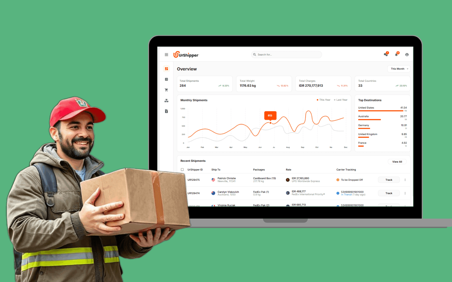
Multi-Carrier Shipping Software for a Global Logistics Platform
- 2K+
- 92
Route planning software built for delivery and field service operators: multi-stop route optimisation with time window constraints, vehicle capacity limits, live traffic, and a driver mobile app. Built to replace the manual planning your dispatchers do every morning.
Built for delivery companies, field service operators, and logistics providers who need more than Google Maps or a basic routing tool can give them.
Multi-stop route optimisation with configurable objective functions and constraint support
Live traffic integration with dynamic rerouting during delivery execution
Driver mobile app with turn-by-turn navigation, stop management, and proof of delivery
Route analytics comparing planned vs. actual distance and on-time delivery rate
Recognition
Your dispatchers spending hours each morning manually building delivery routes that an algorithm could generate in seconds with better results?
Your off-the-shelf routing tool ignoring your time window commitments, vehicle capacity limits, or driver skill requirements and producing routes your team has to manually fix anyway?
In short
RaftLabs builds custom route optimisation software covering multi-stop route planning using OR-Tools or equivalent solvers, time window and vehicle capacity constraint handling, live traffic integration via Google Maps Platform or HERE, dynamic rerouting during delivery execution, driver mobile apps with turn-by-turn navigation and proof of delivery, and dispatcher dashboards with route analytics. Route optimisation software is suited to delivery operators, field service companies, and logistics providers who need more control than off-the-shelf tools like Circuit or OptimoRoute provide. Most projects deliver in 10-12 weeks at a fixed cost.
Companies we've built for







When your dispatchers spend the first two hours of each day manually building routes in a spreadsheet or a basic mapping tool, that time compounds across every delivery day of the year. The manual process also produces worse routes. Human planners can't evaluate the full combination space across 50 or 100 stops the way an optimisation solver can.
Route optimisation software replaces the manual planning cycle with a solver that generates optimal stop sequences in seconds, respects your time window commitments and vehicle constraints, integrates live traffic data at plan time and during execution, and puts each day's route on your driver's phone with turn-by-turn navigation and stop confirmation built in.
Google OR-Tools CVRPTW (Capacitated Vehicle Routing Problem with Time Windows) solver generating optimal stop sequences across a mixed fleet, with a configurable objective function: minimise total distance, minimise total route duration, or minimise the number of vehicles dispatched. The solver applies guided local search and simulated annealing metaheuristics to find near-optimal solutions within a configurable time budget. For 100 stops across 10 vehicles, a solve completes in under 30 seconds. For larger problem sizes (300 to 500 stops), the time budget and solution quality trade-off is tuned to your operational tolerance.
Multi-depot routing assigns vehicles from the nearest or most appropriate depot when your operation runs more than one dispatch location. Batch route generation processes a full day's order workload in a single solve run, producing complete routes for every vehicle before dispatch begins. Re-optimisation on mid-day order arrival evaluates insertion into existing active routes, checking remaining capacity, time window feasibility, and ETA impact on committed stops, without rebuilding the entire route plan from scratch. Dynamic stop insertion for same-day delivery requests presents the lowest-cost insertion point to the dispatcher for confirmation before the updated route is pushed to the driver's app. Delivery density heatmaps visualise stop concentration by geography and time window cluster, helping operations teams spot patterns that inform fleet sizing and depot placement decisions.
Customer delivery time windows are modelled at two levels of strictness within the OR-Tools CVRPTW formulation. Hard time windows (the stop must be served within the window, or the route is infeasible) are used for SLA-critical customers such as hospitals, urgent care facilities, or scheduled appointments. Soft time windows apply a penalty cost for late arrival but allow the solver to generate a feasible route even when the window can't be met. The penalty drives the solver to minimise lateness rather than treating the route as unsolvable. Time window compliance rate (hard window adherence percentage) is tracked per driver, zone, and period in the reporting module as a primary service level metric.
Vehicle capacity is enforced in both weight (kg) and volume (cubic metres or pallet positions) so no route is generated that overloads a vehicle on either dimension. Driver working hours and mandatory rest break requirements are modelled as schedule constraints so drivers aren't planned beyond their contractual shift length. Vehicle type matching keeps refrigerated vehicles assigned only to cold-chain stops, tail-lift vehicles to stops requiring ground-level delivery, and hazmat-certified vehicles to stops with dangerous goods requirements. Driver skill and certification matching assigns drivers with specific qualifications (forklift licence, pharmaceutical delivery training) only to stops where those qualifications are required. Every constraint violation is flagged at plan time before dispatch rather than discovered by the driver on-road when a stop can't be served.
Real-time traffic data from the Google Maps Directions API or the HERE Maps Routing API v8 is applied at route planning time so ETAs are based on actual predicted road conditions for the planned departure time, not idealised free-flow speed limits. Traffic-aware routing selects roads and departure sequences that avoid predicted congestion corridors. A route planned for a 7am departure uses the congestion profile for that time slot, not a generic average. ETA accuracy tracking compares the predicted arrival time generated at plan time against the actual arrival time recorded when the driver confirms stop arrival in the app, producing a mean ETA accuracy metric per route and per driver over time.
Dynamic rerouting triggers when a traffic incident or road closure is detected during delivery execution. The platform evaluates the severity of the delay against the cost of detouring and, where rerouting reduces total route time, pushes the updated route to the driver's Mapbox Navigation SDK turn-by-turn session without requiring the driver to leave the app. Updated ETAs for affected downstream stops are recalculated and can be pushed to customers by SMS or email when the delay exceeds a configurable threshold, for example more than 10 minutes behind the committed window. Failed delivery handling covers the cases where a stop can't be completed: the driver logs a failure reason (no access, recipient absent, address not found), captures a geotagged photo, and the stop is flagged for re-delivery scheduling or PUDO (pick-up/drop-off location) redirect in the next planning cycle.
Geographic zone definition using postcode prefix groupings, H3 hexagonal grid cells, or custom drawn boundaries on a Mapbox map interface. Driver territory assignment keeps each driver's order pool within their designated zone by default, cutting cross-zone route inefficiency and keeping driver familiarity with their area consistent. Zone-based order allocation runs at order intake: when a new order arrives, the system assigns it to the zone whose boundary contains the delivery address, with configurable exception handling for orders that fall near zone boundaries or in coverage gaps between zones.
Territory rebalancing tools let the operations manager adjust zone boundaries and immediately see the projected workload impact, estimated stop count, distance, and vehicle requirement per adjusted zone, before committing the change. This is the planning tool that makes fleet sizing decisions reviewable before a schedule change takes effect rather than retrospective after the next quarter's performance data comes in. Delivery density heatmaps visualise stop concentration by area and time window cluster, surfacing demand patterns that inform both territory design and depot placement. The zone structure that results from this planning layer makes daily route generation more predictable because the solver starts from a pre-structured order pool rather than distributing stops freely across the full fleet.
iOS and Android app built with the Mapbox Navigation SDK for turn-by-turn routing, delivering voice-guided navigation with real-time traffic awareness directly from the stop list. The day's route loads at driver login. No manual address entry, no copy-pasting from a dispatch email. The driver sees the full stop sequence, estimated time at each stop, and total route distance and duration at the start of the shift. Stop sequence can be reordered by the driver within configurable limits where the dispatcher allows it, or locked to the optimised sequence for operations that require strict routing discipline.
Stop arrival confirmation with GPS timestamp and departure confirmation creates the event log the dispatcher sees in real time on the dispatch screen. Proof of delivery capture is configurable per stop type: photo of delivered goods at the door, e-signature from the recipient on-screen, or barcode scan of the consignment note. Geotagged photo capture attaches the GPS coordinates at the moment of the photo so the delivery location is verifiable. Failed delivery handling covers recipient absent, no access, address not found, and damaged goods. The driver selects a reason code, captures a photo, and the stop is flagged for re-delivery scheduling or PUDO redirect. Two-way messaging between driver and dispatcher runs inside the app without requiring a separate SMS or phone call. Next-day schedule preview is available from the end of the current shift so drivers can see their start point, first stop, and total stop count before leaving the depot.
Planned vs. actual distance and duration per route, per driver, and per zone, the core comparison that tells you how accurately the solver models your real-world operation and where the plan consistently diverges from execution. ETA accuracy tracking (predicted arrival vs. actual GPS-confirmed arrival) is computed for every stop across every route and aggregated to a mean ETA accuracy percentage per driver, per zone, and per period. On-time delivery rate against committed customer time windows is tracked at hard-window and soft-window level separately, so time window compliance is reported at the granularity your SLAs require.
Stop dwell time analysis identifies stops that consistently take longer than the planned service time, such as a high-volume commercial delivery that requires a dock booking, a residential address where access takes time, or a stop type the solver systematically underestimates. Fuel consumption per route is available where vehicle telematics data is integrated. Failed delivery exception rate and re-delivery cost per zone surfaces the zones or stop types where first-attempt delivery success is below target. Delivery density heatmaps show stop concentration by geography for territory planning. All metrics are available for the current period and for week-on-week and month-on-month comparison in the operations review dashboard, without requiring anyone to manually compile data from driver logs or carrier portals.
Off-the-shelf routing tools like Circuit, OptimoRoute, and Route4Me work well for simple delivery operations, a small fixed fleet with one vehicle type, a standard delivery radius, and no complex constraint requirements beyond basic time windows and vehicle capacity. They produce usable routes and have driver apps that cover the fundamentals.
The gaps appear when your operation has requirements outside the platform's constraint model. Multi-depot routing with vehicle origin assignment is typically a premium or unavailable feature. Custom vehicle type matching (refrigerated vs. ambient, tail-lift vs. standard, hazmat-certified vs. uncertified) isn't supported at the constraint level in most off-the-shelf tools. Integration with your existing WMS, TMS, or custom OMS requires an API that not all platforms expose, and the data model may not align with your order structure. Territory management at the scale of a regional network, rebalancing zone boundaries and seeing projected workload impact before committing, goes beyond what these tools provide. And a driver app that connects to your own proof-of-delivery system, your customer notification workflow, and your dispatch screen requires custom development regardless of which routing tool is used.
Custom route optimisation software using OR-Tools CVRPTW gives you the constraint model, the integration points, and the driver app designed for your operation specifically. We scope each project to confirm whether custom is the right path or whether a configured off-the-shelf tool would meet your requirements without the development cost, so you get an honest assessment before committing either way.
We use Google OR-Tools as the primary solver, specifically the CVRPTW (Capacitated Vehicle Routing Problem with Time Windows) formulation which handles simultaneous vehicle capacity constraints and time window constraints in a single solve. OR-Tools applies guided local search and simulated annealing metaheuristics to find near-optimal solutions within a configured time budget. This approach is practical for real-world stop counts because it doesn't require exhaustive enumeration of every possible stop sequence. Instead, it starts from a feasible initial solution and iteratively improves it within the time limit.
For 100 stops across 10 vehicles with time windows and capacity constraints, a solve completes in under 30 seconds. For 300 stops, it typically runs in 60 to 90 seconds. For problems above 500 stops, we configure the solver time budget and solution quality trade-off based on your operational requirements. A dispatch operation with a hard 7am cutoff needs a solution in 60 seconds; an overnight planning run can afford 10 minutes for a tighter solution. The same OR-Tools library underpins the multi-depot formulation, the dynamic stop insertion evaluation during mid-day order arrival, and the territory rebalancing preview, giving consistent solver behaviour across all planning contexts.
For operations where marginal solution quality improvement justifies licence cost (very large fleets or dense urban networks where a 2 to 3 percent distance reduction translates to material fuel savings), we can also integrate commercial solvers like Gurobi or CPLEX as a drop-in replacement for the OR-Tools back end.
Yes. Mid-day order insertion is a standard part of the route optimisation problem. When a new order arrives after routes are dispatched, the system evaluates where it can be inserted into an existing route with the least cost impact, checking time window feasibility, vehicle capacity, and impact on existing stop ETAs. If no existing route can absorb the order without violating constraints, it flags for dispatcher review and can generate a new single-stop route or hold the order for next-day planning. The dispatcher sees the proposed insertion and confirms or adjusts before the updated route is pushed to the driver's app. Full re-optimisation of all active routes is also available as a triggered action.
A route optimisation platform with multi-stop solver, time window and capacity constraints, live traffic integration, and a driver mobile app typically runs $40,000-$80,000. A full platform adding territory management, multi-depot support, customer notification, telematics integration, and advanced analytics typically runs $80,000-$150,000. Cost depends on constraint complexity, the number of integrations with existing systems, and mobile app platform requirements. We scope every project before pricing it and provide a fixed cost, not a time-and-materials estimate.
What clients say
Three-year average engagement. Founders and operators describing the work in their own words. No marketing varnish.

 Indonesia
I definitely recommend RaftLabs, especially to founders building complex platforms. They were transparent throughout the whole project.
01 / 02
Tell us your fleet size, average stop count per route, the constraints your current tool can't handle, and what your dispatchers spend time on manually. We'll scope the right platform and give you a fixed cost.