





























Land Surveying Software Development Company

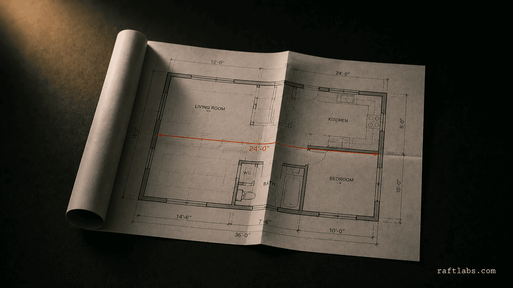
Most software sold to survey firms is either a generic field-service app that has no concept of a plat or an easement, or CAD tooling built for architects, retrofitted for surveying. We build software around how a survey crew actually works: field data in, a drafted, recordable deliverable out, without a licensed surveyor re-keying coordinates by hand.

  • Field-to-CAD pipelines that pull GPS, drone, and total-station data straight into your drafting workflow

  • Automated plat and deed drafting built around your state's recording and e-filing requirements

  • Crew and job scheduling software that fits how survey jobs actually get dispatched and billed

  • Fixed-cost delivery, scoped up front, with source code ownership

What you can count on

Retention

3+ years

Average client relationship across active accounts

First milestone

Week 3

Working prototype in front of real users

Pricing

Fixed price

Scope and cost agreed before work starts

Team

No handoffs

The senior engineers who scope the build also ship it

4.9
on Clutch
See our work

The problem

Sound familiar?

  • Your survey techs re-entering GPS, drone, or total-station data into CAD by hand because your field app and drafting software don't talk to each other?

  • Plat and deed drafts stuck in review because the automated draft doesn't match your state's recording and formatting requirements?

Short answer

RaftLabs builds custom software for land surveying firms, including field-to-CAD data pipelines, automated plat and deed drafting, courthouse e-filing integration, and crew scheduling tools. We work with firms whose licensed surveyors are re-keying GPS, drone, and total-station data into CAD by hand, or whose drafting output doesn't match their state's recording requirements. A field-to-CAD pipeline typically runs $25K-$50K; a full platform covering multi-crew scheduling, automated drafting, and e-filing runs $70K-$130K. Projects are fixed-cost, scoped after discovery, with source code ownership and post-launch support included.

01 Diagnosis

Problems we solve for land surveying firms

  1. 01
    Problem

    Your survey techs are re-keying field data by hand

    Solution

    Coordinate data comes off a total station, GPS rover, or drone survey clean and structured, then gets manually re-typed into CAD because the field app and the drafting software were never built to talk to each other. Every re-entry step is a place a transposed digit turns into a boundary error that surfaces months later, during a dispute or a title review. A field-to-CAD pipeline that pulls RW5, LandXML, or point-cloud data straight into your drafting environment removes the re-entry step entirely - the data your crew collected in the field is the data your surveyor drafts from.

  2. 02
    Problem

    Plat and deed drafts keep bouncing back from review

    Solution

    Generic drafting templates don't know your state's recording requirements, so every draft needs manual correction before it's submission-ready: margin requirements, required certifications, monument callout formatting, legal description conventions. That correction work falls on your most experienced (and most expensive) staff, every single time. Drafting automation built around your state's actual recording rules - not a generic template - produces a draft your surveyor is reviewing for accuracy, not reformatting from scratch.

  3. 03
    Problem

    You're still hand-carrying filings to the courthouse

    Solution

    Many county recorder offices now accept e-filing, but the software surveyors already run often wasn't built with a filing integration at all - so firms keep driving documents to the courthouse or scanning and emailing them, even where a faster path exists. An e-filing integration scoped to your actual counties turns a physical trip or a manual upload into a submission your office handles from the same software you drafted in.

  4. 04
    Problem

    Job scheduling and crew dispatch run on a whiteboard or a spreadsheet

    Solution

    Survey work is field-first and weather-dependent, which makes generic field-service scheduling tools a poor fit - they're built for one-hour service calls, not multi-day boundary or topographic jobs with equipment and crew-certification constraints. Scheduling software built around how survey jobs actually get assigned - by crew qualification, equipment availability, and job type - keeps dispatch out of a spreadsheet without forcing your operation into a tool built for a plumber's day.

02 What we ship

What we build for land surveying firms

  1. Field-to-CAD data pipelines

    Ingestion pipelines that take GPS, total-station, and drone/LiDAR data and normalize it into your CAD drafting environment - AutoCAD Civil 3D, Carlson, or a proprietary format. Built to handle mixed equipment across crews so every job arrives in one consistent format, not five.

  2. Automated plat and deed drafting

    Drafting automation built around your state's recording and formatting requirements: legal description generation, monument callouts, certification blocks, and margin/format rules encoded as configurable logic. Your licensed surveyor reviews and approves; the software handles the repetitive drafting work around that review.

  3. Courthouse e-filing integration

    Integration with county recorder and clerk e-filing systems where available - direct API submission or structured file upload depending on what each county supports. Scoped per jurisdiction during discovery, since requirements vary by county and state.

  4. Field crew mobile apps

    Offline-capable mobile apps for job assignments, field-data capture, and photo/note logging in areas with no signal, syncing once back in range. Built for the field, not a retrofitted office app.

  5. Job and crew scheduling software

    Scheduling and dispatch software built around survey-specific constraints: crew certification, equipment availability, multi-day jobs, and weather dependency - not a generic field-service tool built for single-visit service calls.

  6. Legacy system migration

    Migration off unsupported or single-vendor-locked legacy survey software: mapping your existing project archive and monument data, validating what transfers cleanly, and flagging what needs manual review before cutover.

03 How we work

How we build land surveying software

  1. 01

    Discovery and workflow mapping

    Two to three weeks working with your surveyors and office staff to map your actual field-to-filing workflow: what field data formats your crews collect, what your state's recording requirements are, which CAD environment you draft in, and which counties you file with. This surfaces the requirements that would cause rework if discovered mid-build.
  2. 02

    Data pipeline and architecture design

    We design the ingestion pipeline for your specific field-data formats and the drafting rules engine for your state's recording requirements, plus the data model connecting field jobs to drafts to filings. Integration points - CAD software, e-filing systems, equipment data formats - are prototyped early because they're the highest-risk dependencies.
  3. 03

    Build in two-week sprints

    You review working software at each sprint, not wireframes or mockups. Field data pipeline, drafting automation, and scheduling components are built and tested incrementally, so integration issues with your CAD environment or field equipment surface early, not at the end.
  4. 04

    Field testing and rollout

    Before full rollout, the software runs alongside your existing process on real jobs so your team can validate drafted output against what a surveyor would produce manually. We fix discrepancies before cutover, then support the transition as your team moves off the old workflow.

Trusted by

Vodafone logo
Aldi logo
Nike logo
Microsoft logo
Heineken logo
Cisco logo
Calorgas logo
Energia Rewards logo
GE logo
Bank of America logo
T-Mobile logo
Valero logo
Techstars logo
East Ventures logo
TuneClub logo

04 Track record

What you get working with RaftLabs

Founded - 100+ products shipped since
2015
Fixed team rate, no markup surprises
$35-40/hr
Typical fixed-cost delivery timeline
10-24 wk
Source code ownership on delivery
100%

07 Why us

Why choose us?

  • 01
    We've seen your problem before
    Across dozens of industries and 100+ products, we recognise your situation fast, then frame the fix around your margin and your operations, not a generic template.
  • 02
    We own the number, not the ticket
    We measure success the way you do: hours saved, revenue earned, margin recovered. We stay through launch and growth, so the result is ours to own.
  • 03
    Serious businesses trust us
    Vodafone, T-Mobile, Cisco, Energia, Aldi, Nike. Building since 2015, 100+ products in production. Serious businesses keep coming back because we stay accountable long after launch.

08 Questions

Frequently asked questions

Yes. This is the most common request we get from survey firms: a pipeline that takes coordinate data straight from a GPS rover, total station, or drone/LiDAR survey and gets it into your CAD environment without a manual re-entry step. We work with common field-data formats (RW5, CSV, LandXML, point clouds) and scope the exact CAD target (AutoCAD Civil 3D, Carlson, or a proprietary format) during discovery.

We don't replace your licensed surveyor's professional judgment or stamp - no software vendor can. What we build is the drafting automation layer around it: templates and generation logic that match your state's recording and formatting requirements, so your surveyors are reviewing and approving a draft that's already close to submission-ready, not building it from a blank sheet. Your team defines the requirements during discovery; we build the software that encodes them.

In most cases, yes. Many county recorder and clerk offices now expose an e-filing API or accept structured file submissions (a growing number run on Simplifile, CSC, or a state-specific portal). We scope the exact integration during discovery, since e-filing requirements vary by county and state - some support direct API submission, others require a specific file format uploaded through a portal.

We build to whatever your crews are already using: RW5 files from a total station, CSV or LandXML exports from a GPS rover, and point cloud data from drone/LiDAR surveys. If your firm runs mixed equipment across crews, we build one ingestion pipeline that normalizes all of it into a consistent format before it reaches your drafting software.

A single-purpose tool - for example, a field-to-CAD data pipeline for one office - typically runs $25,000-$50,000 and takes 10-16 weeks. A full platform covering multi-crew scheduling, automated plat/deed drafting, and courthouse e-filing integration runs $70,000-$130,000 over 16-24 weeks. Cost is driven mainly by how many field-data formats and CAD/e-filing integrations are in scope. We scope a fixed cost after a discovery phase, before any development starts.

Both. Field crews typically need an offline-capable mobile app for job assignments, data capture, and photo/note logging in areas with no signal, syncing once back in range. The back-office side handles job scheduling, CAD drafting integration, and billing. We scope both together so data moves from the field to the draft to the invoice without a manual handoff.

Yes. Migrating decades of survey records, monument data, and project archives is a common reason firms come to us - legacy survey software is often unsupported or single-vendor-locked. We scope the migration as its own phase: mapping your existing data structure, validating what transfers cleanly, and flagging what needs manual review before cutover.

Yes, if your firm operates across state lines. Recording formats, e-filing requirements, and plat/deed conventions vary by state and sometimes by county. We build the drafting and filing logic as configurable rules rather than hardcoding one state's requirements, so adding a new jurisdiction is a configuration change, not a rebuild.

Talk to us about your land surveying software project.

Tell us what your crews collect in the field, what you draft in, and where it needs to end up. We'll tell you how we'd approach it.

  • Scope and cost agreed before work starts. No surprises. No obligation.
  • Working prototype within 3 weeks of kickoff.
  • Pay by milestone. You see progress before each invoice.
  • 60-day post-launch warranty. Bug fixes, UI tweaks, and deployment support. No retainer.
  • All conversations are NDA-protected.

Stay on topic

More on real estate & construction